Why ORSCO Scanning Division is a Cut Above the Rest
At ORSCO, we don’t just map the underground – we redefine precision.
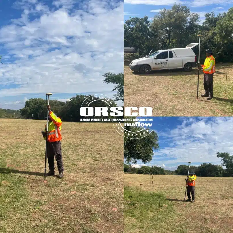
We proudly use top-tier Ground Penetrating Radar (GPR) units for underground utility detection and subsurface mapping. But we take it a step further by integrating RTK GNSS receivers into our workflow.
📡 So, what does that mean for you?
RTK (Real-Time Kinematic) positioning corrects the common errors found in standard satellite navigation systems. By using both the carrier wave signal and real-time correction data from a base station, we achieve centimetre-level accuracy in our surveys.